
I have absolutely no idea where the last month has gone, but gone it has and while I managed to keep on top of some things, my book sharing and my allotment had to fall by the wayside. On the bright side, however, the school Summer break has now started and so I’m hoping that I can finally get to spend some decent time with the children, sharing books that have sat on our reading list for too long.
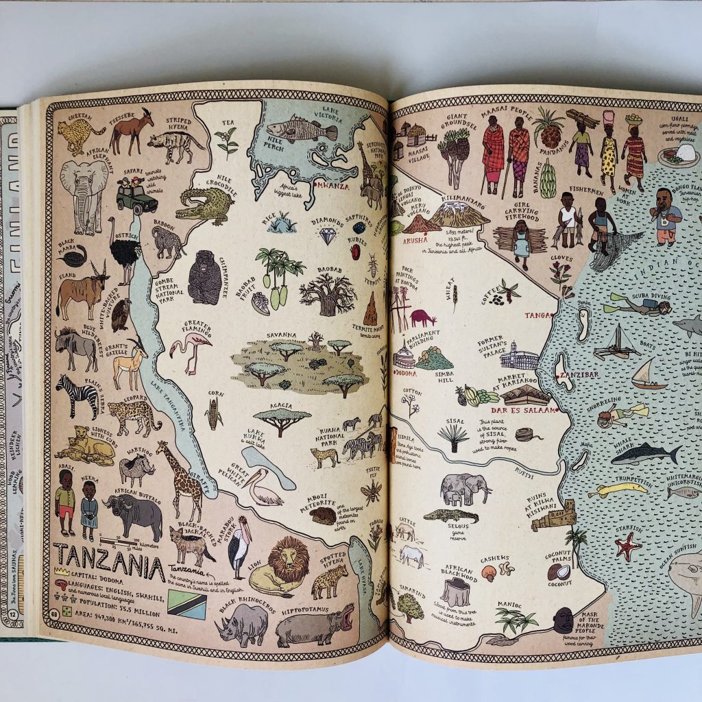
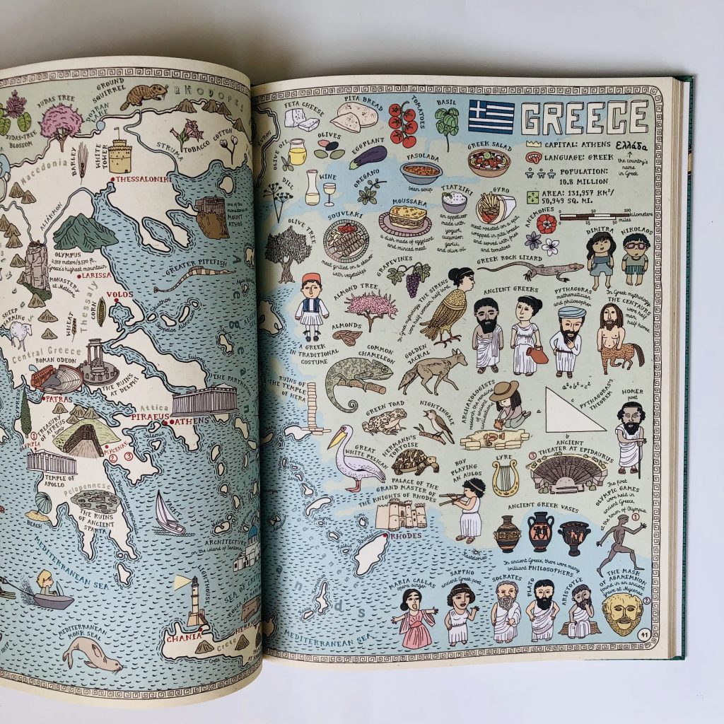
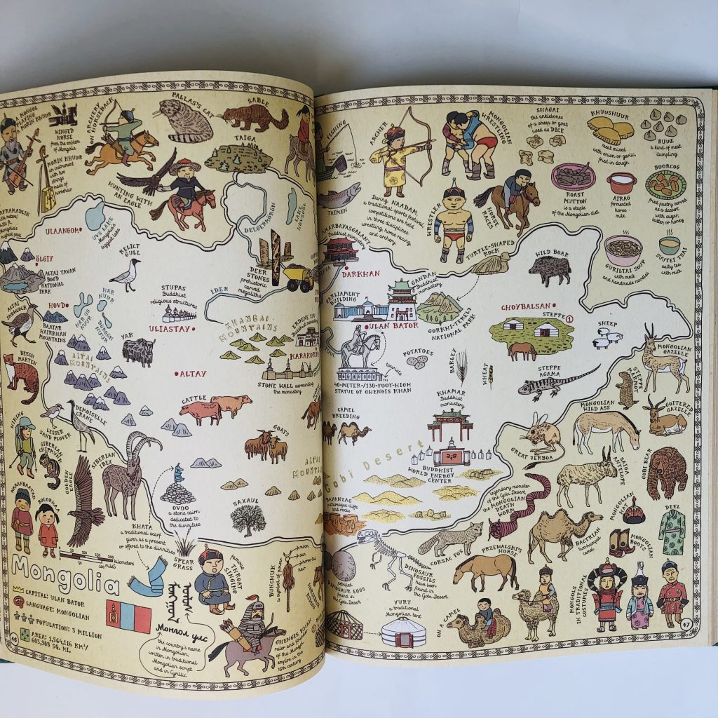
This large, coffee table-sized book is the first one I want us to dive into for a few reasons. Firstly, who doesn’t love a map? Secondly, this is the easiest way to safely travel the globe at the moment, and thirdly, this is one of those perfect books for exploring while snuggled up on the sofa together (got to make the most of it before the kids decide they are too old!), knowing that every time you look at a double-page spread, you’ll spot something you hadn’t seen last time around. The book really needs to be big, otherwise there’d be insufficient room to cram in all the exquisitely-illustrated detail on each of the 52 maps from across the globe, including everything from places of interest, native animals and plants and iconic people, to cultural events, geographical information, boundaries, languages and capital cities. It also has a very useful flags of the world section at the back, which I really need to utilise in order to knock the reigning Pemberton Family World Flag Champion (who is 8…) off his pedestal! I’ll need to get my revision in fast, though, because I’m pretty confident that once I’ve shared this stunning book with the kids, there’ll be a fight over who gets to squirrel it away to their room first…
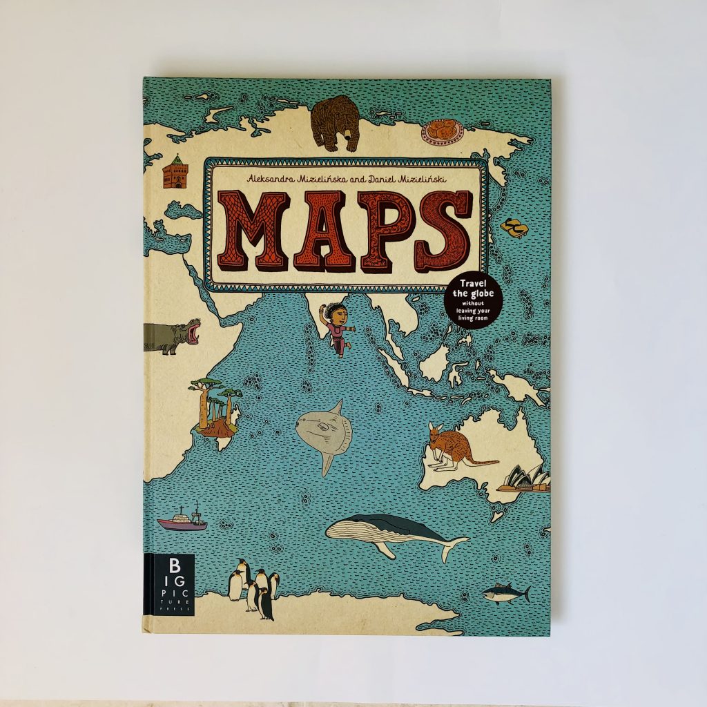
Maps.
By: Aleksandra Mizielinska and Daniel Mizielinski
Publisher: Big Picture Press